


NORTH ROSAMOND/MOJAVE
7.85 ACRES – 663’ x 600’ approx.
ELECTRICITY & PHONE AT PROPERTY
ON PAVED ROAD
KERN COUNTY
70 MIN FROM LOS ANGELES
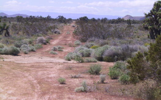
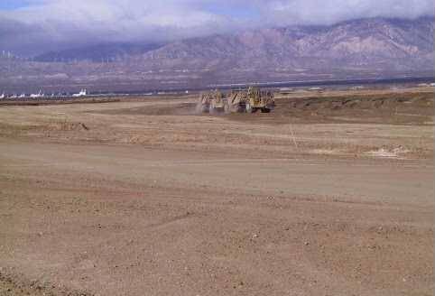
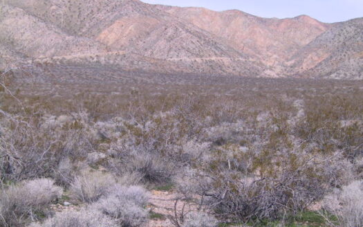
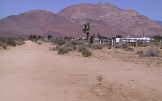
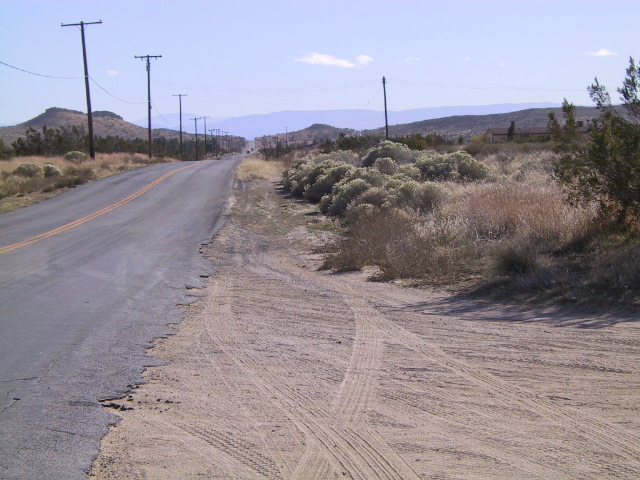
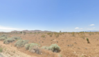
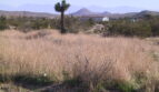
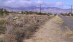
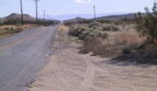
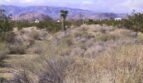
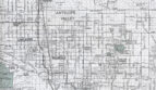
DESCRIP – 7.85 acres South of Mojave on the corner of Mojave Tropico Road, which is paved and Gibbs Avenue (Mojave Tropico Road is approx. where 40th Street West would be). The property is about 2 miles west of the 14 Freeway and a ½ mile south of Backus Road. There is electricity and telephone on two sides of the property. There are homes surrounding this property and four modular homes being built on the south side of the property right now. The school bus picks up the kids right in front of this property. The land is all flat, 100% usable with great views. Water wells are used in the area (approx. 150’ to 400’ depth with a cost of approximately $15,000 to $20,000). This property is in the path of new development and makes a good investment for the future. This is a very well located piece of property. Your major shopping is in Rosamond which is approximately 5 miles south of the property. The land has magnificent views of the surrounding mountains and valley. You can use this property as a weekend getaway with your R.V. or camping.
At the junction of Hwy 14 and Hwy 58, in East Kern County, Mojave is a oasis for tired travelers, truckers, and commuters. Fast-food restaurants and service stations line both sides of the highway. The Mojave airport employs people from all parts of the Antelope Valley. Burt and Dick Rutan, designers and builders of the famous Voyager Aircraft and Rotary Rocket, developers of a new rotor-landing spacecraft, are an example of commercial tenants there. With a population of about 4,000, Mojave is small but probably the most important transportation center in the High Desert. According to Caltran’s estimates, over 30,000 vehicles pass through the main intersection of Hwy 58 and Hwy 14 every day. That total will increase to 61,600 vehicles by the year 2020 – just during weekdays.
TERMS – $69,995.00 – Monthly Payments $699.00 (including 7% interest)
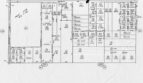
LEGAL – APN # 237-287-10
Section 11, T11N, R13W
GPS Coordinates: 34°56’36.5″N 118°12’45.9″W
Zoning: agricultural/ residential
Horses ok
Size: 7.85 acres
Water: Water wells (150’ to 400’ in depth)
Electricity & Phone: At property
Roads: Paved Road
Mineral rights: no
Property taxes: $275.00 per year
Other Agents